AYRARAT TOUR
Welcome to Armenia!
Geography of Armenia
Overview of Armenia Geography
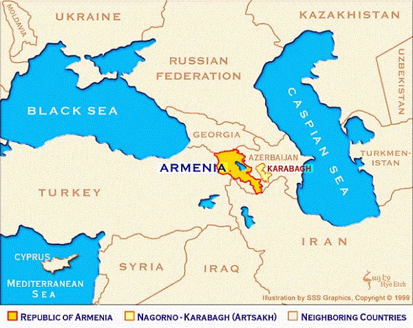
Armenia geography is blessed with endless natural treasure. The Armenian Territory stands in the heart of the southern Transcaucasus in Eurasia. Ararat Valley with its undulating landscape
is the most prominent feature of Armenia geography. The Republic of Armenia sprawls over an area of 29,8
square kilometers in-between the European and Asian continents. Turkey, Iran, Georgia and Azerebaijan form the outer boundary of the Armenian Republic.
- Features of Armenia Geography
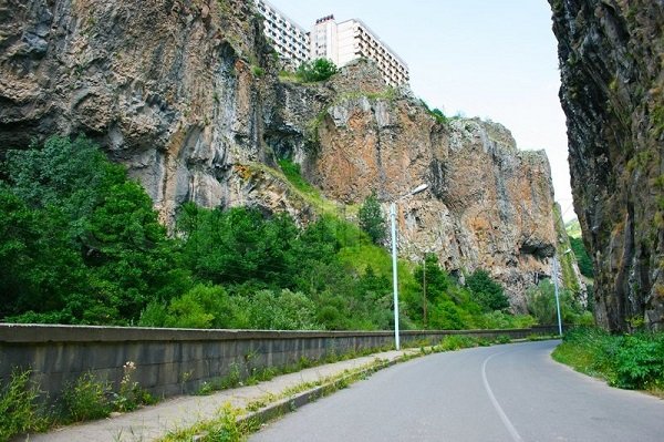
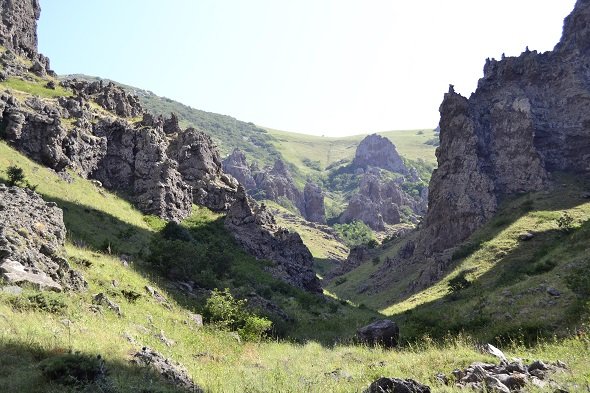
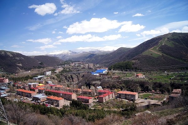
Armenia Geography is characterized by rolling mountains and alpine landscape. Due to its hilly terrain, Armenia is popularly known as the Rooftop of Asia Minor. The ancient Armenia was much bigger in size and craggy in nature. The highlands of the Armenian Territory are also known as the Islands of Mountains.
The Republic of Armenia is placed at a height of 1800 meters above the sea level. The land rises to 4,095 m above sea-level at Mount Aragats. The lowest place in Armenia stands at a height of 390 meters. The terrain is mostly mountainous and flat, with fast flowing rivers and few forests but with many trees. The climate is highland continental: hot summers and cold winters.
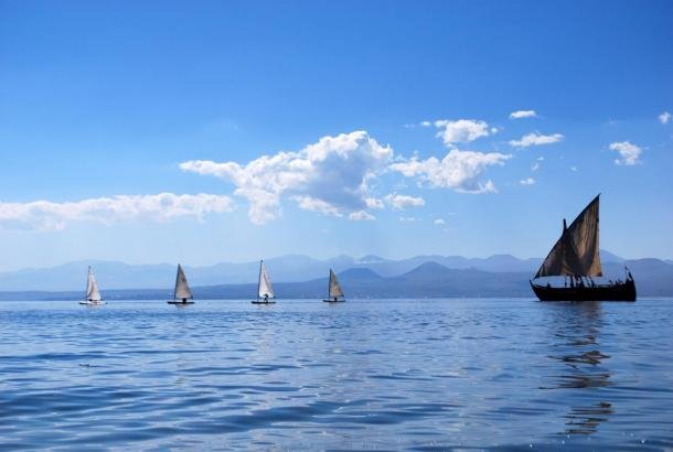
Today's Armenia is mostly an
inland nation. It also lacks navigable water bodies. The Ararat plain is the most fertile piece of land in the Armenian Republic.
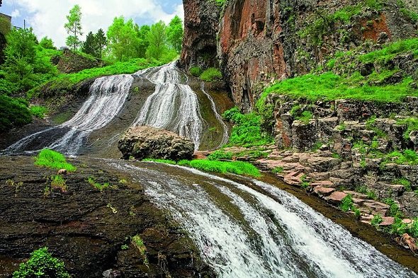
Besides its mountainous landscape, Armenia Geography also features woodland, steppe, dry steppe, desert, basalt columns and waterfalls. Mineral spring and extinct volcano are some of the other interesting features of Armenia Geography.